Launch Spot Under Bridge
Body of Water
River Ure 2 other launch locations
Description
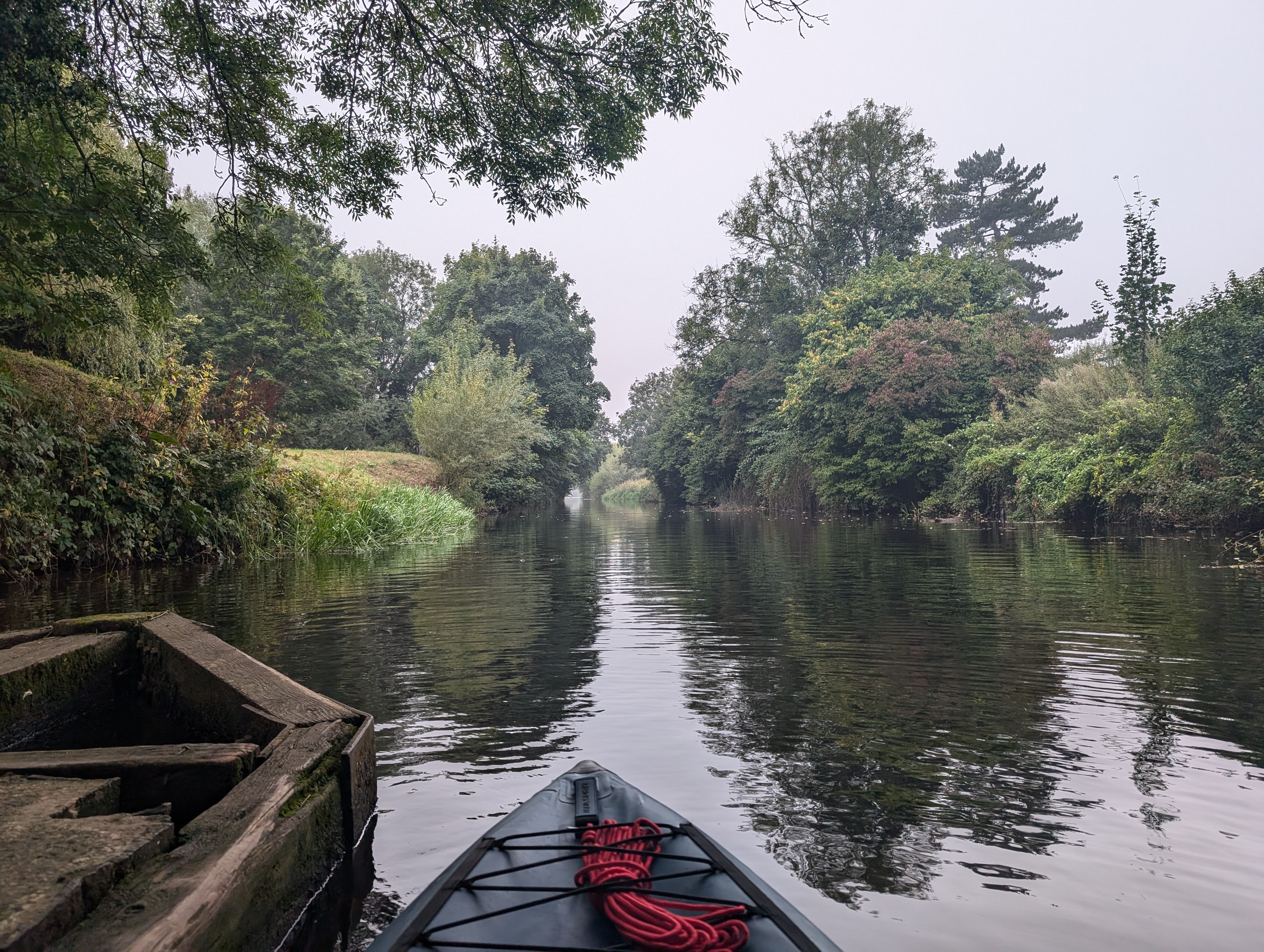
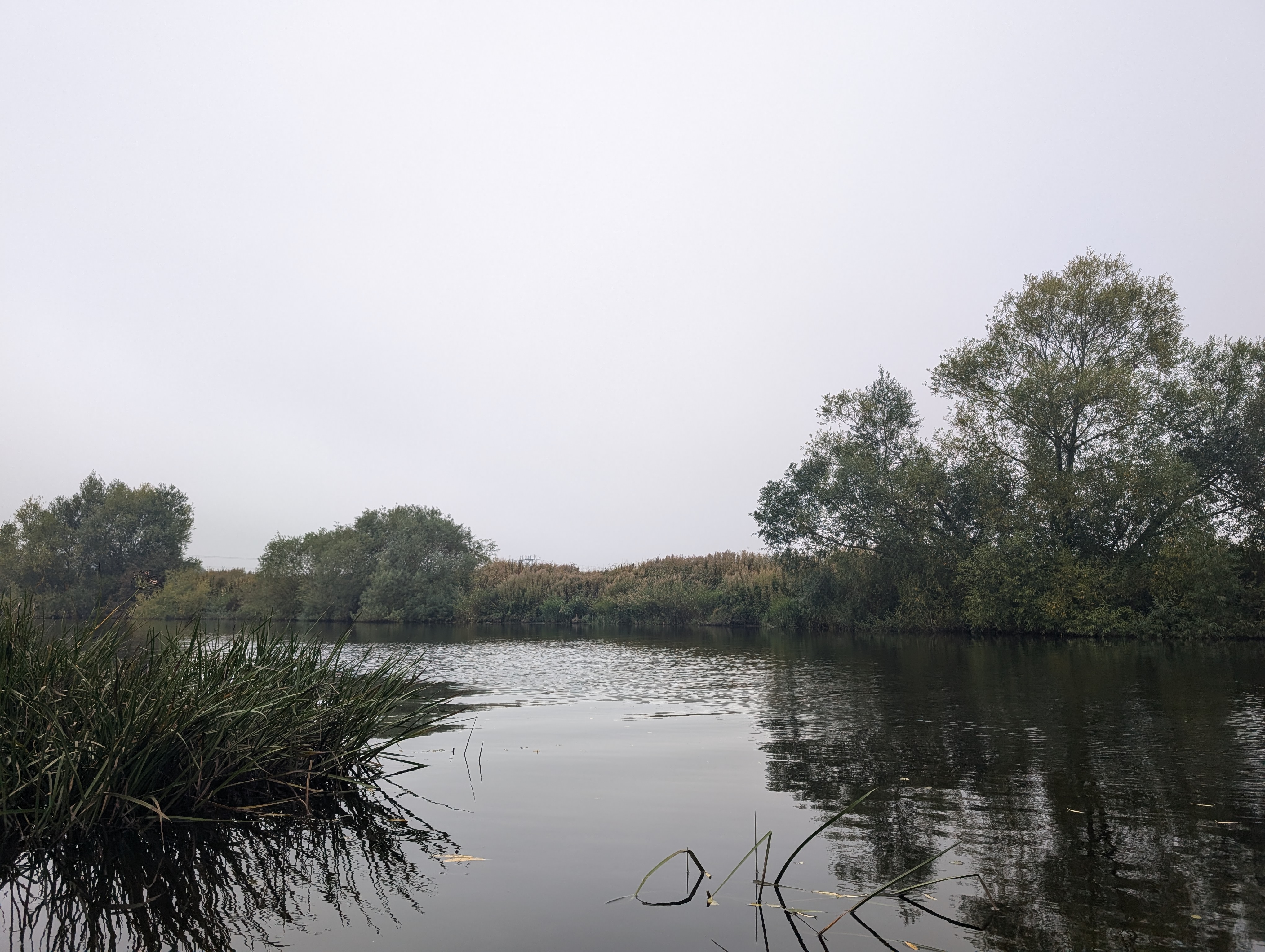
Perfect launch point for the River Ure, twenty yards from the free parking spot overlooking the weir
Parking Information
Boroughbridge Riverside Parking
Free Parking
Yes
Launching Information
Easy access to the water using the foundations of the bridge over the Ure. Note that there's a small slope down to the water which might prove difficult for the infirm or disabled.
Free Launching
Yes
Paddling Information
Perfect for beginners, either head right the short distance [ca. 2km round trip] to the lock and back or head left up to the weir [ca. 10km round trip].
EditThis data is provided by the community and may not be accurate. Don't launch if you're in any doubt about the conditions, or your abilities.
Login to upload a photo.

Boroughbridge to Ripon - Inflatable Kayak - Freein...
Watch Video
Boroughbridge to York by River - Inflatable Kayak...
Watch Video
Packraft & Inflatable Kayak - River Ure at Borough...
Watch VideoLogin to add a video.
Google Maps Waze Weather
Share this launch:
Nearby Gauging Stations
- River Ure at Boroughbridge 0.24 km Water Level: 10.182m (2 weeks ago)
- River Ure at Westwick Weir 3.92 km Water Level: 0.441m (2 weeks ago)
- River Tutt at Boroughbridge 0.26 km Water Level: 11.866m (2 months ago)
- River Swale at Myton-On-Swale 4.13 km Water Level: 1.891m (2 weeks ago)
- Cundall Beck at Bat Bridge 5.78 km Water Level: 0.173m (2 weeks ago)
Key: Rising, Falling, Steady
Nearby Storm Overflows
Company: Yorkshire Water
Data Updated: 2/3/2026 11:35:01 PM
Company: Yorkshire Water
Data Updated: 2/3/2026 11:35:01 PM
Company: Yorkshire Water
Data Updated: 2/3/2026 11:35:01 PM
Company: Yorkshire Water
Data Updated: 2/3/2026 11:35:01 PM
Company: Yorkshire Water
Data Updated: 2/3/2026 11:35:01 PM
Company: Yorkshire Water
Data Updated: 2/3/2026 11:35:01 PM
Company: Yorkshire Water
Data Updated: 2/3/2026 11:35:01 PM
Company: Yorkshire Water
Data Updated: 2/3/2026 11:35:01 PM
Company: Yorkshire Water
Data Updated: 2/3/2026 11:35:01 PM
Company: Yorkshire Water
Data Updated: 2/3/2026 11:35:01 PM


No comments yet.
Login to leave a comment.