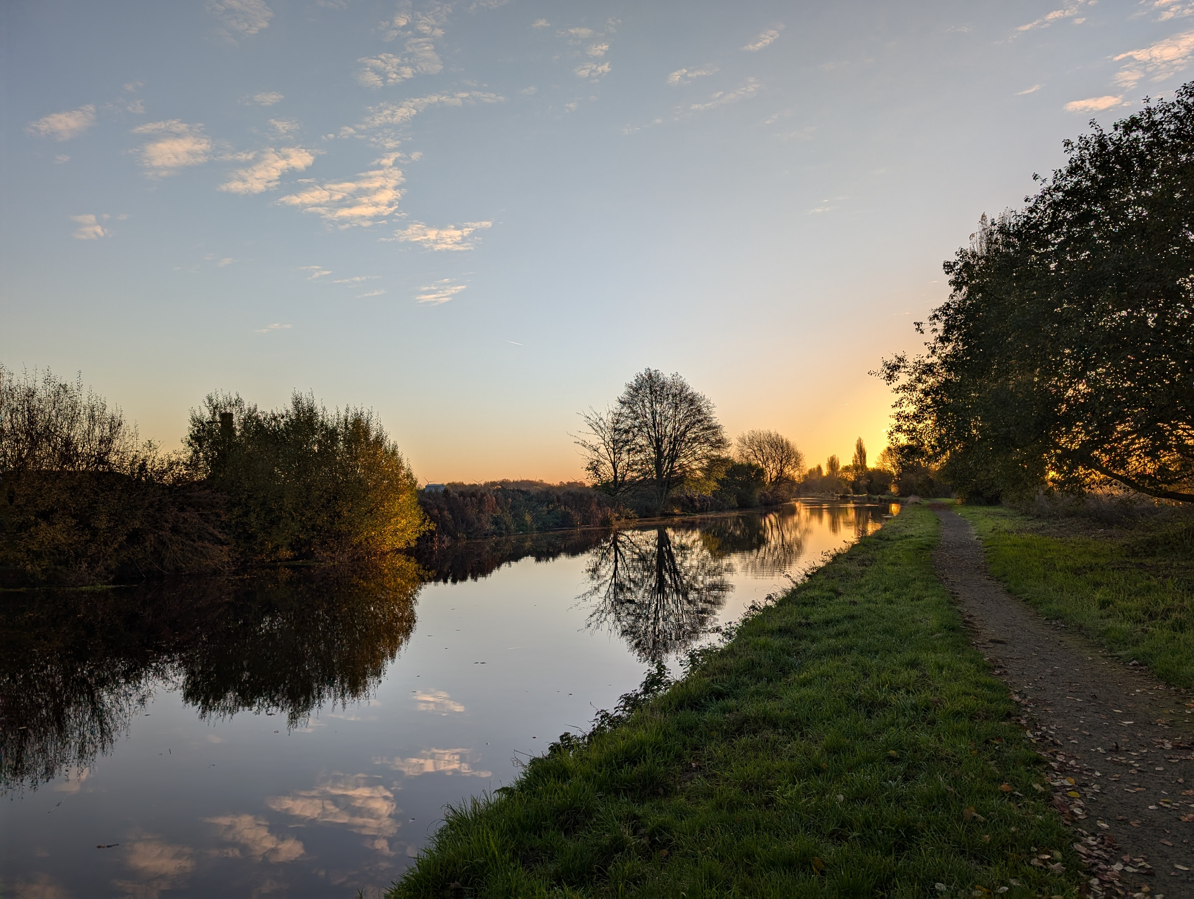
Godnow Bridge
Body of Water
Stainforth and Keadby Canal
Description
Easy access to the canal, 4 miles with no bridges in one direction
Parking Information
Parking available right at the launch spot, not the biggest car park
Free Parking
Yes
Launching Information
Launch from boat moorings, there's a few options available
Free Launching
Yes
Paddling Information
Lots of low bridges if heading upstream
Tide Information
Immingham (43.91 km) Level: 2.051m
This data is provided by the community and may not be accurate. Don't launch if you're in any doubt about the conditions, or your abilities.
Google Maps Waze Weather
Share this launch:
Nearby Gauging Stations
Key: Rising, Falling, Steady
Nearby Storm Overflows
Company: Severn Trent Water
Data Updated: 5/18/2026 9:01:54 AM
Company: Severn Trent Water
Data Updated: 5/18/2026 9:01:54 AM
Company: Severn Trent Water
Data Updated: 5/18/2026 9:01:54 AM
Company: Severn Trent Water
Data Updated: 5/18/2026 9:01:54 AM
Company: Yorkshire Water
Data Updated: 6/20/2026 5:37:33 PM
Company: Yorkshire Water
Data Updated: 6/20/2026 5:37:33 PM
Company: Yorkshire Water
Data Updated: 6/20/2026 5:37:33 PM
Company: Yorkshire Water
Data Updated: 6/20/2026 5:37:33 PM
Company: Severn Trent Water
Data Updated: 5/18/2026 9:01:54 AM
Company: Severn Trent Water
Data Updated: 11/11/2025 6:00:03 AM
No comments yet.
Login to leave a comment.